Features
New Features for SMART 8
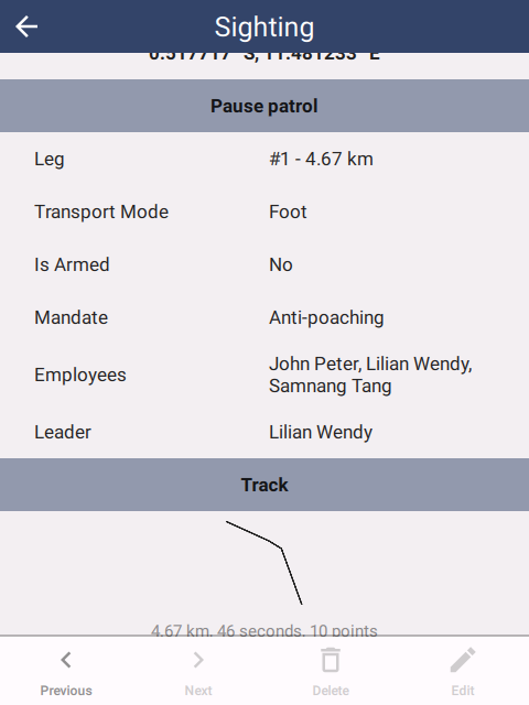
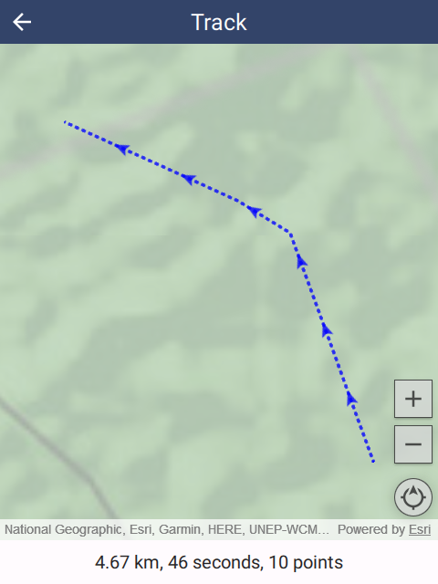
Location tracks
- Track timer keeps running even if SMART Mobile is interrupted or shut down
- More than one project can be running a track at one time
- When a track is running and the GPS has good signal strength, taking a GPS reading is immediate
- Tracks are now part of patrol observations, so legs can be viewed as part of the obseveration history
 |  |  |
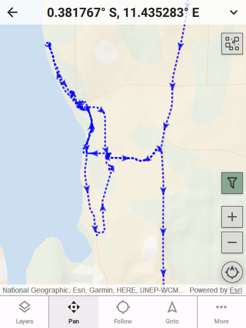
Maps
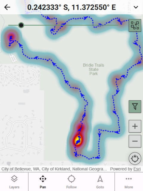
- Location tracks have arrows showing travel direction
- Heat map function shows where most time was spent
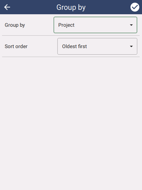
- Filtering observations with date ranges and full text search
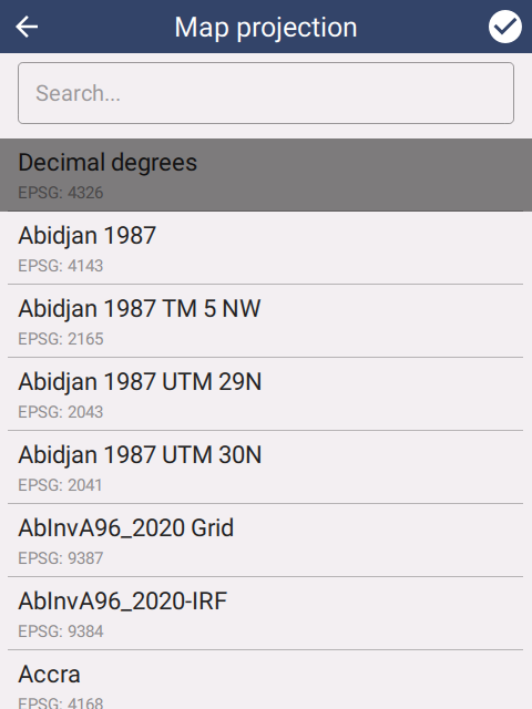
- Dozens of projections now supported
 |  |  |
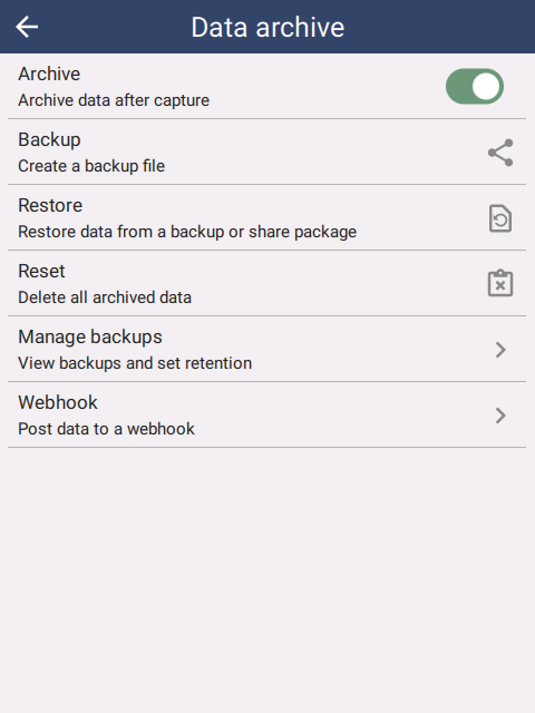
Archive
- Captured data can be kept on the device for viewing
- Search and grouping is supported
- Import and export to ZIP files for backup
 |  |  |
New attributes
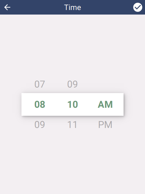
- TIME attribute type
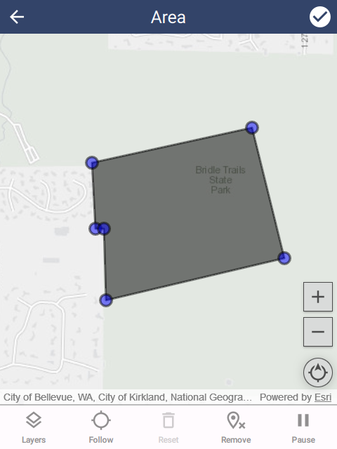
- POLYGON attribute type
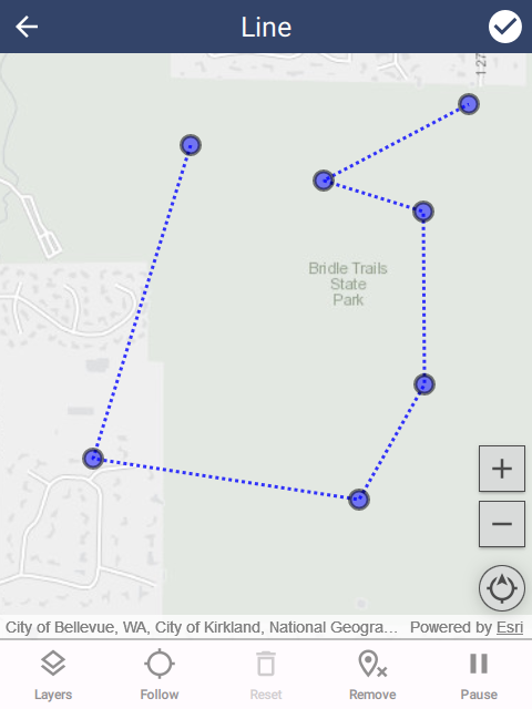
- LINE attribute type
 |  |  |
Other features
- Communicate messages to devices
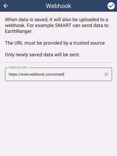
- Connect SMART Mobile to EarthRanger or any other backend system
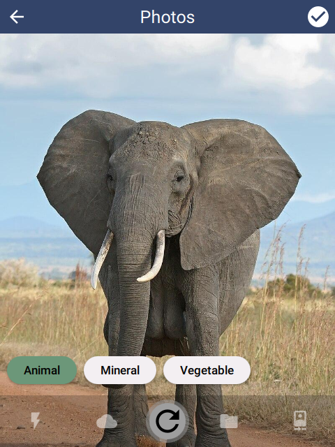
- Tag system for photos
 |  |  |
Minor features
- Security improvements
- TREE attribute for metadata types
- Delete observations
- Backup files on device that can be recovered if all else fails
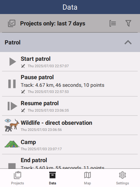
- Activity log for user events, e.g. patrol started and stopped
- Upload queue to show the state of upload
- Simple camera to prevent access to the device image library
- Translatable project names
- Imperial/Metric setting can be set from the desktop
- Install multiple packages at one time