Table of Contents
Offline maps
What is an offline map?
Offline maps are map layers that are installed in CyberTracker. They can be used on the Map page. With the exception of WMS layers, they do not require a network connection.
Packages
An offline map package is a zip file containing one or more layer files. See this sample file. Note that the layers.json file is optional - by default the system will automatically discover files with supported extensions. Many map layers require several files with the same base name, for example shape files require a .shp, .shx, .dbf and .prj file. These should all be in the base directory of the zip file.
Package installation
On desktop, a map package can be installed using Install package from the File menu.
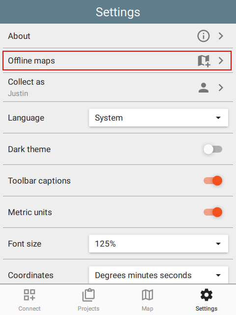
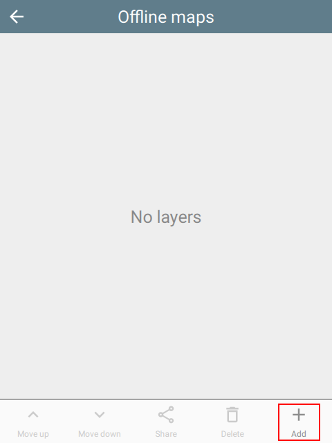
On mobile, maps can also be installed directly from the Offline maps page. This can be reached via Settings or the gear icon on the Map Layers page:
 |  |  |
Layer order and opacity
CyberTracker will discover and install layers in a zip file automatically. While this is often acceptable, when there are multiple layers, it is useful to specify the order and opacity of each. To do this, add a layers.json file to the zip and specify each of the layers:
[
    {
        "filename": "Gabon.mbtiles",
        "name": "Gabon",
        "active": true,
        "opacity": 1.0
    },
    {
        "filename": "Country.shp",
        "name": "World countries",
        "active": true,
        "opacity": 0.5
    },
    {
        "filename": "LegalAtlasShapeFile.shp",
        "legalAtlas": true,
        "name": "Legal atlas shapefile",
        "active": true,
        "opacity": 0.1,
        "symbol": {
           "fill-style": "solid",
           "fill-color": "#808080",
           "outline-symbol": {
              "stroke-style": "dashdot",
              "stroke-size": 1.0,
              "stroke-color": "#404040"
           }
    }
]
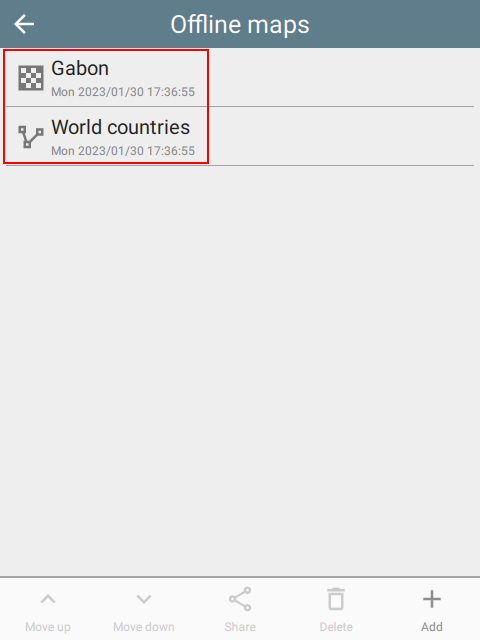
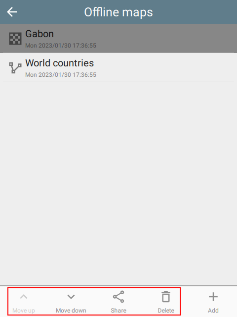
Note that the Settings page for offline maps also supports re-ordering the layers, sharing with others and even deleting them:
 |
Sharing
Offline map packages can be shared to other devices. This shares the entire original package, not just the selected layer.
Zoom to layer
On the Map Layers page, selecting the Zoom to button will zoom to the entire extent of the layer.
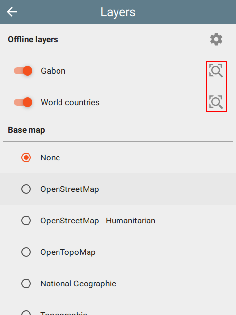 |  | 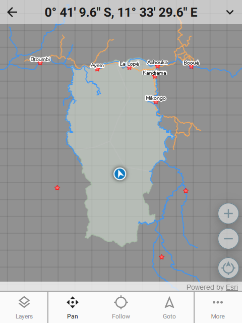 |
Supported formats
The following layer formats are supported:
- ESRI formats: shapefile (shp), tile package (tpk), vector tiles package (vtpk)
- ASRP/USRP
- CIB1, 5, 10
- DTED0, 1, 2
- GeoTIFF
- HFA
- HRE
- IMG
- JPEG
- JPEG 2000
- NITF
- PNG
- RPF
- SRTM1, 2
- Mosaic Dataset in SQLite (read-only)
- MapBox: mbtiles
- Google: KML
- GeoJSON
Shape files
Shape files entries can include symbology.
Point symbols
marker-style can be circle, cross, diamond, square, triangle, x.
"symbol": {
    "marker-style": "circle",
    "marker-size": 5.5,
    "marker-color": "#ffff00",
    "outline-color": "#ff0000"
}
Line symbols
stroke-style can be solid, dash, dashdot, dashdotdot, dot.
"symbol": {
    "stroke-style": "dashdot",
    "stroke-size": 4.4,
    "stroke-color": "#ffff00"
}
Fill symbols
fill-style can be none, solid, horizontal, vertical, forwardDiagonal, backwardDiagonal, cross, diagonalCross.
"symbol": {
   "fill-style": "solid",
   "fill-color": "#ff00ff",
   "outline-symbol": {
      "stroke-style": "dashdot",
      "stroke-size": 1.0,
      "stroke-color": "#ffff00"
   }
}
WMS layers
Web Map Service is an online layer protocol. While these layers are actually online, they can be added as layers using the Offline map system. To do this, create a JSON file with the extension .wms and add it to the package zip file. For example:
{
    "layer": "0",
    "service": "https://basemap.nationalmap.gov/arcgis/services/USGSHydroCached/MapServer/WMSServer"
}